Ten Months after the Storm
Nearly a year has passed since Hurricane Michael ravaged northern Florida, but the impact of the storm is still visible and being felt across the panhandle. National and local efforts are in place to reconstruct the affected beaches and to help the communities rebuild. Prior to Hurricane Michael, a significant portion of the area was already considered critically eroded. These eroded sections of dune stood no chance against Michael’s powerful storm surge. The damage from this storm expedited renourishment projects that were already underway, and long-term efforts were introduced to protect against further erosion.
Michael’s Path of Destruction
Hurricane Michael was the biggest storm in recorded history to make landfall along the panhandle. At first, the hurricane was categorized as a category 4 hurricane. However, in April of 2019, the National Oceanic and Atmospheric Administration (NOAA) conducted a detailed post-storm analysis and determined the storm was actually a category 5 hurricane. The analysis confirmed that the storm produced sustained winds of 160 mph.
The primary areas affected were the beaches in and around Bay County, stretching from Panama City Beach to Mexico Beach. According to Michael Dombrowski (Principal and Coastal Engineer with MRD Associates, Inc.), most of Mexico Beach was completely obliterated. He also reports that sections of St. Andrews State Park remain closed because the surge from Hurricane Michael flattened 30-foot high dunes all along the park’s coast. Tourist Development Council beach consultant to Bay County, Lisa Armbruster, reports similar sand dune loss on the Panama City beach.
Coastal Erosion Is a Big Issue
According to Lisa Armbruster, an estimated 600,000 cubic yards of sand was lost over a span of 18.5 miles at Panama City Beach where the storm surge only reached 4.5 ft. On the other hand, Armbruster said the storm brought “phenomenal” surge of 16 to 20 feet in Mexico Beach. She estimates that Mexico Beach, alone, will require 1-1.5 million cubic yards of sand to rebuild the eroded beach and restore the dunes back to an adequately protective state. Even more astonishing, the erosion that Mexico Beach experienced was highly concentrated along a 3-mile span of beach. The extent of hurricane-force that slammed into Mexico Beach was unprecedented. Michael is the most powerful storm on record to make landfall in the Florida Panhandle.
If you would like to see what areas are considered critically eroded along the Florida coastline, you may use the interactive map below to zoom in on a specific location. The red line designates areas that are critically eroded, and the blue line designates areas that are not. This map was created by the Florida Department of Environmental Protection and is based on their latest analysis of coastal erosion.
Where Does the Sand Come From?
Unlike the sand from other beaches, which is often a blend of many different types of minerals and bits of pulverized shell, the homogenous composition of the panhandle’s sand is unique. Comprised primarily of quartz, much of Florida’s panhandle sand is renowned for its softness and sugar-white color. It is the result of thousands of years of deposition that originated from the breakdown of landmasses, such as the Appalachia mountain range, and was carried via rivers to the Gulf of Mexico.
Simply trucking in ‘generic’ sand to rebuild the destroyed coast is not an option. In order to restore the beaches to their original pristine aesthetics, only Florida sand can be considered. And, outside sources for this type of sand don’t exist. Currently, the sand for these restoration/reclamation projects is being locally-sourced through dredging of the canal at Mexico Beach.
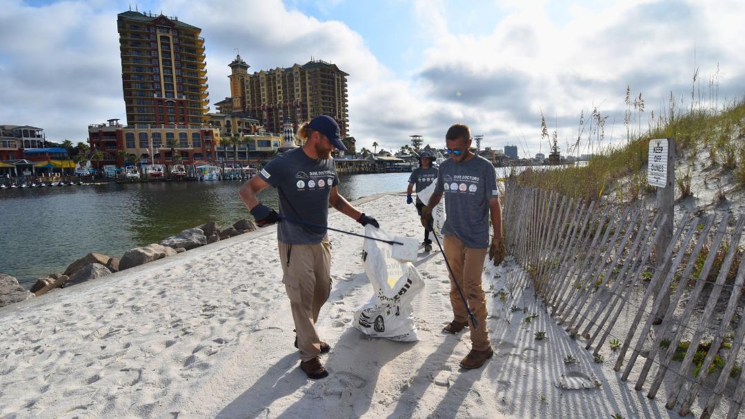
Restoration Efforts Underway
Restoration projects in these areas include continued debris removal, beach renourishment, boardwalk reconstruction, and the construction of the emergency berm at Mexico Beach. According to Kimberly Shoaf, president of the Mexico Beach Community Development Council, a 5-year Emergency berm has been constructed. The structure is 3.1 miles long and was built using approximately 95,000 cubic yards of sand. Multiple dune vegetation species totaling approximately 282,400 plants have been installed on the protective berm to stabilize the new structure. To widen the structure via sand accretion, 15,600 linear feet of sand fencing was placed to line the berm. Displayed below are the latest images of the completed emergency berm on Mexico beach. These images were sent to us by Kimberley Shoaf and the engineering team responsible for the project.
Further Consideration
The creation of a protective berm is the best line of defense against the destructive forces of coastal storms. Installing a boardwalk over the berm (as opposed to creating dunes with breaks for beach access) also enhances the protective effects of a berm by controlling where and how people travel.
When walkways are cut through dunes, it weakens the dune structure and can actually channel damaging stormwater directly back to your property. For this reason, it is best to place paths at the ends of berms to the sides of properties.
Engineers and public officials continue to work together to restore the beaches’ defense lines. The projects, themselves, are on schedule but the government funding may delay implementation. According to Michael Dombrowski, federal funding is going to reimburse the counties in an estimated 5 years after the projects are completed. For this reason alone, it is important to have your own independent financial long-term plan in place. All in all, a spirit of resiliency is present along the coastline despite the underlying concern of what 2019’s hurricane season might have in store.